

Share /save is the easy way to add us to your favourite list and share with your friends
![]()
FLOOD INFORMATION AND PREDICTION |
Hurricane High resolution Satellite images

Floodwarn should not be used to replace the National hurricane Centre information at http://www.nhc.noaa.gov/ National Hurricane Center advisories and County / local emergency management statements supersede the informations referenced on this page.
|
||
National Floodwarn Hurricane information and news centre This page contains information on conditions for formation of hurricanes. We have Wind Sheer maps, Convergence & Divergence maps for help predicting where tropical storms and hurricanes will for or intensify. satellite images and discussions can be found on our main Hurricane Centre Page Share /save is the easy way to add us to your favourite list and share with your friends
|
cyclones and hurricanes
| LATEST HIGH RESOLUTION HURRICANE SATELLITE IMAGES |


Hurricane Centre by Floodwarn is provided completely free but the costs of running and hosting this site are not free. It is really appreciated that some users donate towards the running of the site and we have added a donate button to make this easier. If every user donated just £2 once a month we could add so much new data. It would also help to build the new global weather systems site which will be available for weather watching in 2011.
The images below can be clicked to enlarge

Puerto Rico & Leeward Isl. Visible image
Latest Hurricane satellite image

Overlay of sea surface pressure and satellite image for Atlantic

Hurricane latest

Hurricane Latest image

Tropical Storm and hurricane latest

High resolution satellite hurricane images click images to see images in full
|
Line indicates day /night |
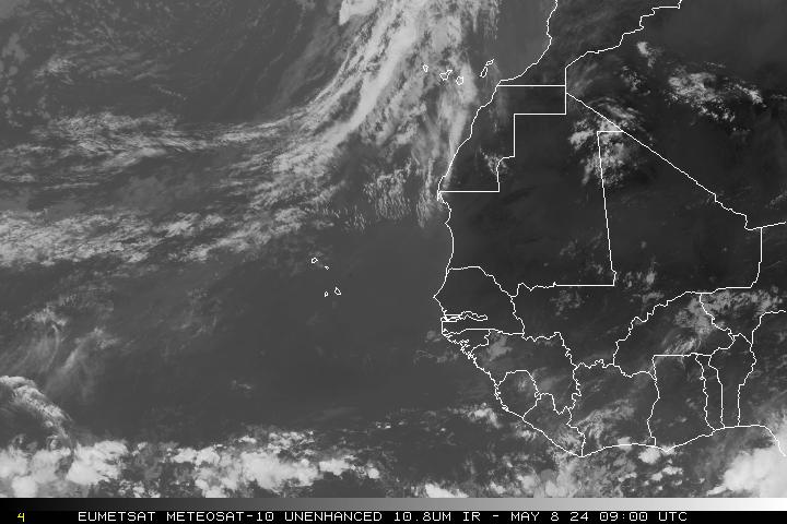
Africa West Coast Visible |
East Atlantic IR 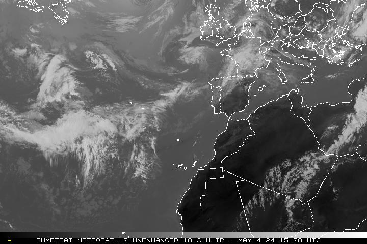 |
East Atlantic Visible
|
Full DisK Visible I |
Full DisK IRI |
|
|
Carribean & West Atlantic Water Vapour loop
|
|
Northern Hemisphere Infrared 12hr loop  |
Northern Hemisphere Visible 12hr loop |
Africa Coast I |
Carribean Infrared
|


Hurricane webcam's for watching approaching hurricanes. Web Cams in Caribbean and Gulf Coast webcam for hurricane watching live
|