Keep up to date with floodwarn

Share /save is the easy way to add us to your favourite list and share with your friends

Share/Bookmark

As flooding effects more and more of UK residents we will give you the help and information to limit the effects.
 

We aim to provide the latest warnings of severe weather, latest river levels and a forum so users can pass the latest news to each other.

In addition we have links to weather related sites and to companies offering the latest innovations to limit the effects of flooding.

We try to cover as many flood events as possible

Coastal and tidal flooding Surface flooding Localised flooding River flooding Widespread flooding Landslips Disasters

Use the weather rainfall radar to check current rainfall approaching. Check the visible cloud approaching and the weather rainfall stations to check how much rain has fallen today and in last hour. These can be found in Weather Latest.The river webcams are best seen during daylight. They provide the state of the rivers during heavy rain. These can be viewed in the river cam section.

Resources that you can use to predict possible flooding.

Floodwarn is provided completely free but the costs of running and hosting this site are not free. It is really appreciated that some users donate towards the running of the site and we have added a donate button to make this easier.

feeds

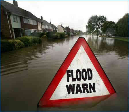
How to stop flooding happening download the PDF

The above is a national resource flood prevention measure

Buoy and ship weather reports - click here

Please support us by clicking the + button

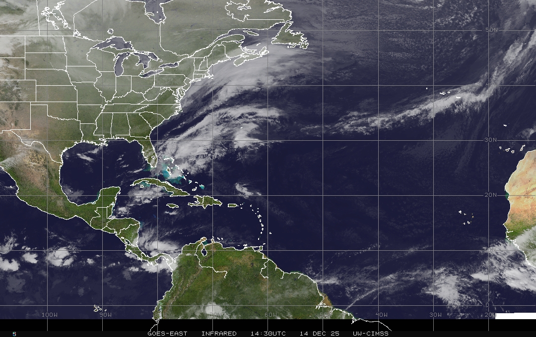
All Satellite Imagery Courtesy of  SAT24.COM and EUMETSAT satellite maps live

Visible light satallite image

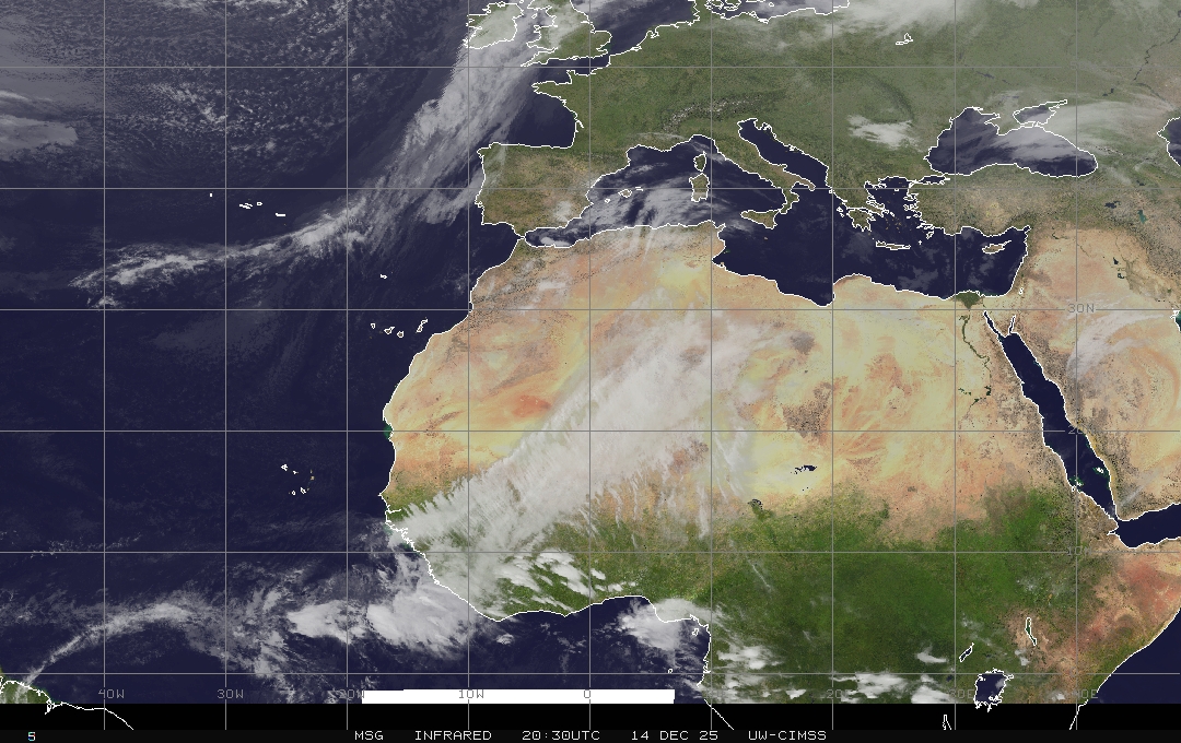
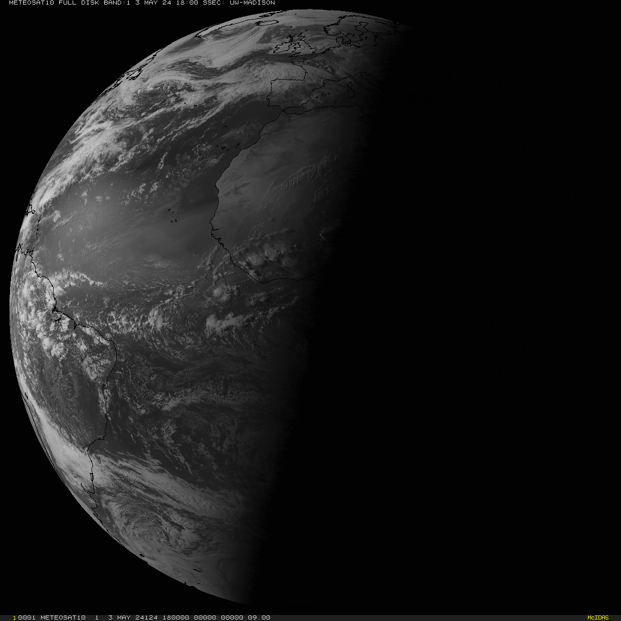
Infrared satallite image

Latest live satelite image of earth day or night

LATEST SATREP IMAGES PLEASE CLICK IMAGES TO ENLARGE - IMAGES COPYRIGHT SATREP

Legend SatRep

ABSTOP: Absolute Topography

BBOCCL:Back Bent Occlusion
Bcl Bound: Baroclinic Boundary
BL: Boundary Layer
BOYD: Boyden Index
CA: Cold Air Advection
CCC: Closed Cell Convection
CAD: Cold Air Development
Cb: Cumulonimbus
CCB: Cold Conveyor Belt
CF: Cold Front

CF in CA: Cold Front in Cold Advection
CF in WA: Cold Front in Warm Advection
Ci: Cirrus

CISK: Conditional Instability of the Second Kind
Conv: Convergence
Cu: Cumulus
Div: Divergence
EC: Enhanced Cumulus
FD: Front Decay
FI: Front Intensification
Inst Occl: Instant Occlusion
IPV: Isentropic Potential Vorticity
MCC: Mesoscale Convective Complex

MCS: Mesoscale Convective System
NVA: Negative Vorticity Advection
OCC: Open Cell Convection
OCCL: Occlusion
PFJ: Polar Front Jet
PL: Polar Low
PV: Potential Vorticity
PVA: Positive Vorticity Advection
RELTOP: Relative Topography
SH-index: Showalter Index
Sc: Stratocumulus
St: Stratus
TFP: Thermal Front Parameter
THR: Thickness Ridgen
ULL: Upper Level Low
UTH: Upper Tropospheric Humidity
WA: Warm Air Advection
WCB: Warm Conveyor Belt
WF: Warm Front
WV: Water Vapour

PLEASE CLICK IMAGES ABOVE TO ENLARGE EACH IMAGE

Latest live satelite image of earth day or night

More weather charts here

Latest weather satelite image

latest satelite of Europe full disk visible

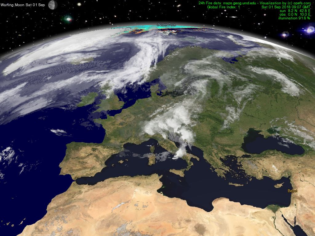
Current European cloud cover latest visible satellite image

latest Visible weather satelite of europe world Weather


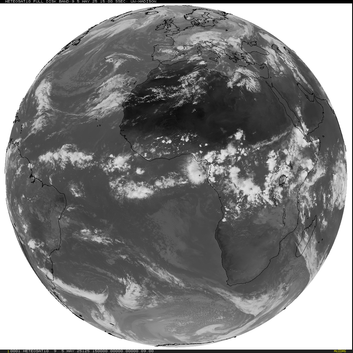
Current European cloud cover latest Infrared IR satellite image

latest satelite of Europe world Weather

Full disk sat image

Movie Current European cloud cover latest Infrared satellite loop

latest satelite loop of Europe world Weather

Movie Current European cloud cover latest Visible satellite loop

latest visible satelite loop of Europe world Weather

Latest live satelite image of earth day or night