Share /save is the easy way to add us to your favourites and share with your friends
![]()
World wide & Mount Etna Volcano live cameras |
 |
 |
 |
 |
 |
 |
We also have a still webcam image of Etna here but you will need to
refresh this page for latest view every five minutes
As well as other acyive volcanos worldwide;
MODERATORS WANTED FOR THE FLOODING FORUM , JOIN & EMAIL US WHY YOU WANT TO BE A MODERATOR
The latest on Volcanos in the Canaries - The Hierro Volcano with live web cam of the Island of Hierro and the Hierro volcano along with latest gps and seismic data. Latest earthquakes and seismic information from Hierro volcano
Mission statement: To protect by providing information and weather data sources to inform members of the public and UK emergency response services and resources.
Before attempting to make your home flood resilient always seek professional advice. Information on here should not be relied on, always seek advice for any natural disasters from official Govt sources.
The floodwarn tropical storm hurricane centre is here
Floodwarn is provided completely free but the costs of running and hosting this site are not free. It is really appreciated that some users donate towards the running of the site and we have added a donate button to make this easier. |
||
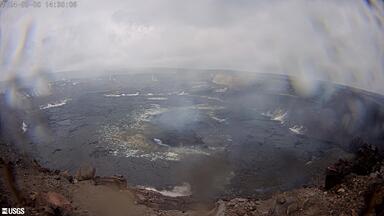
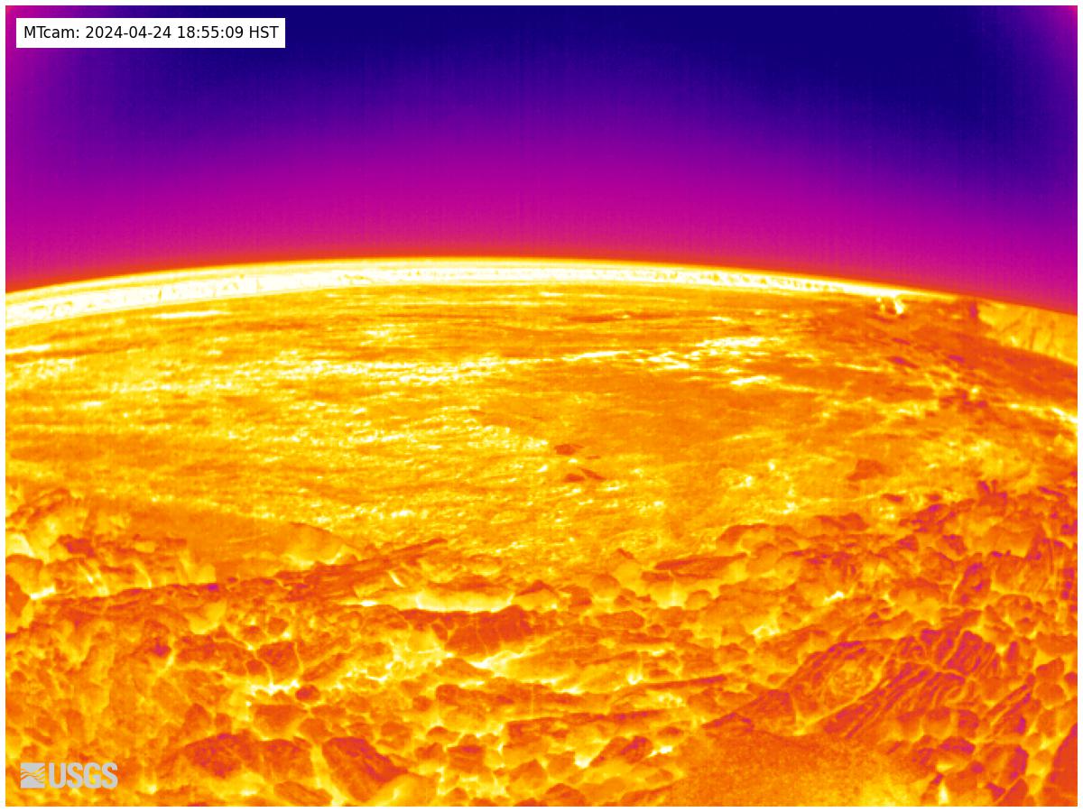
Here is a image of the pond in centre of the Volcano.
This is as of 14th jan 2020 and its rising by around 15cm a day
This is ground water so will not fill to the top.
As you can see, what looks like a tiny pond is actually a huge lake. Its almost 2000ft down
The water currently around 174 Ft deep

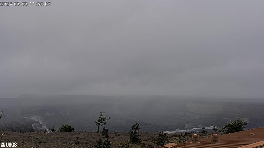
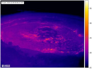
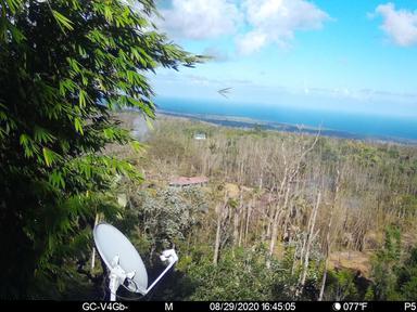
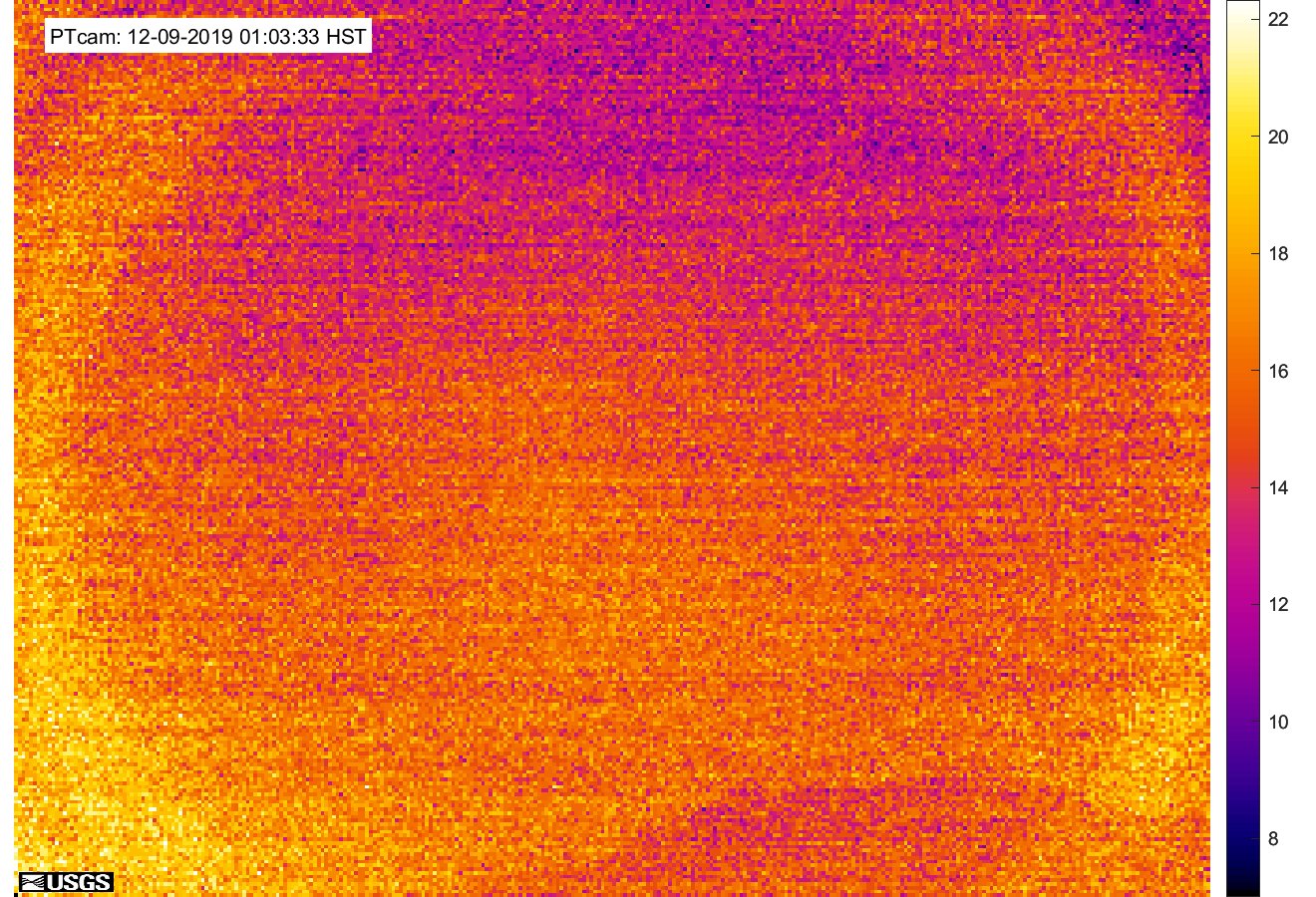
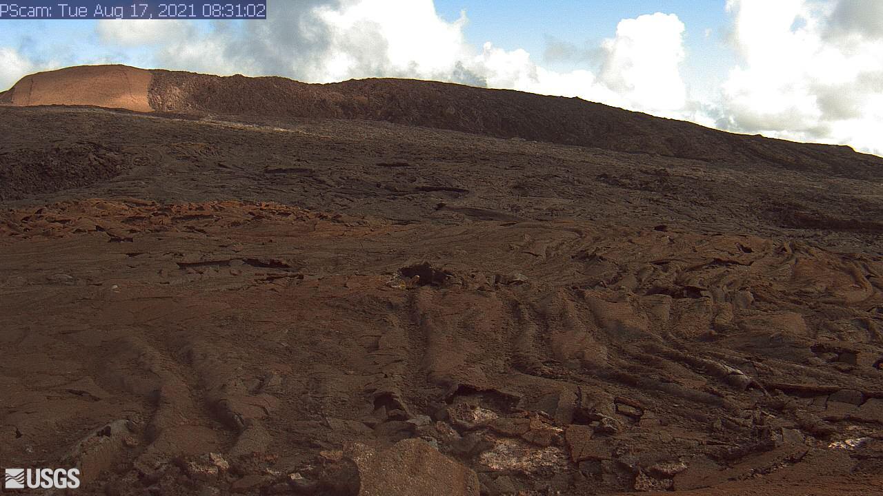
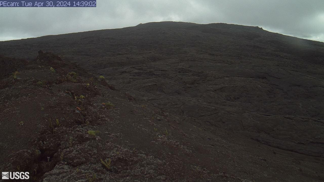
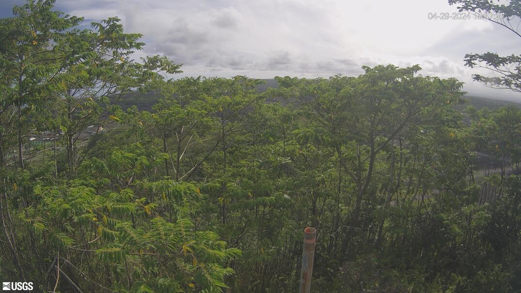
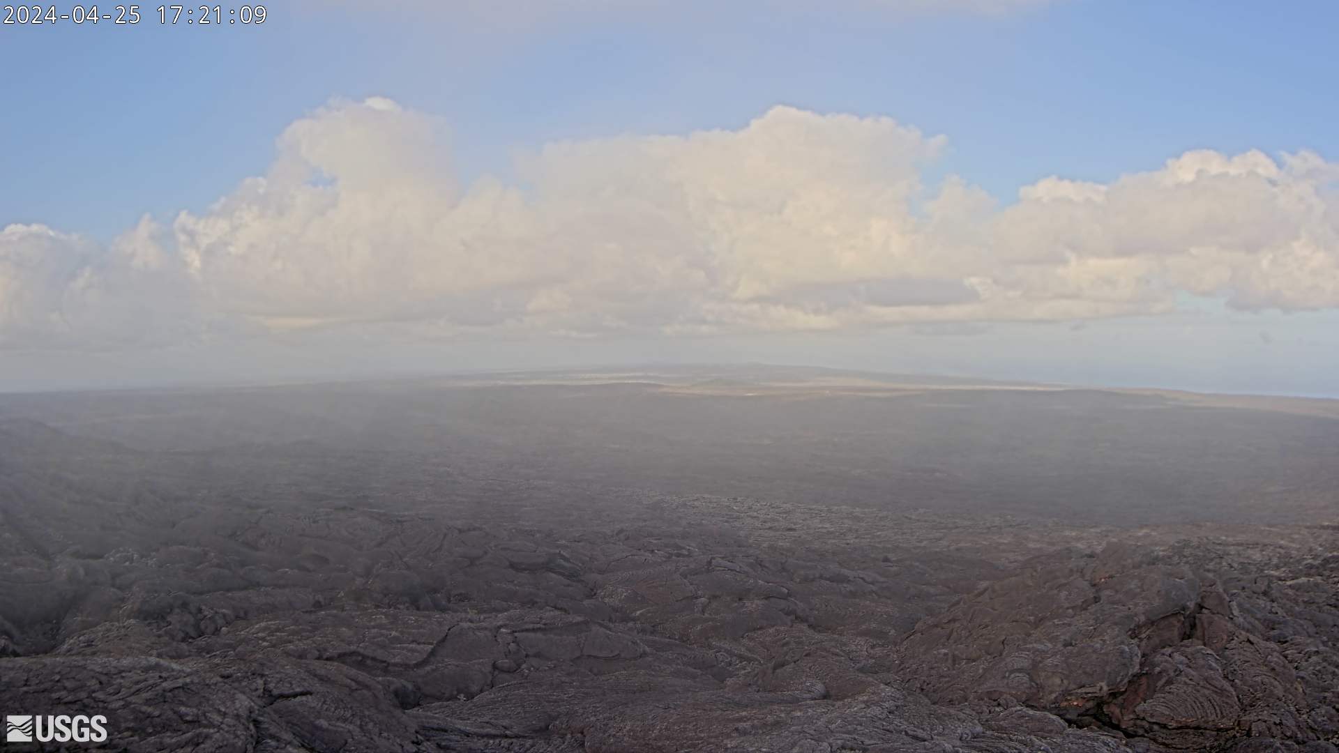
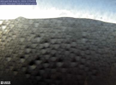
Latest multi camera live views of Hawaii volcano
 |
Kīlauea Volcano, Summit
 |
 |
||
 |
 |
||
|
|||


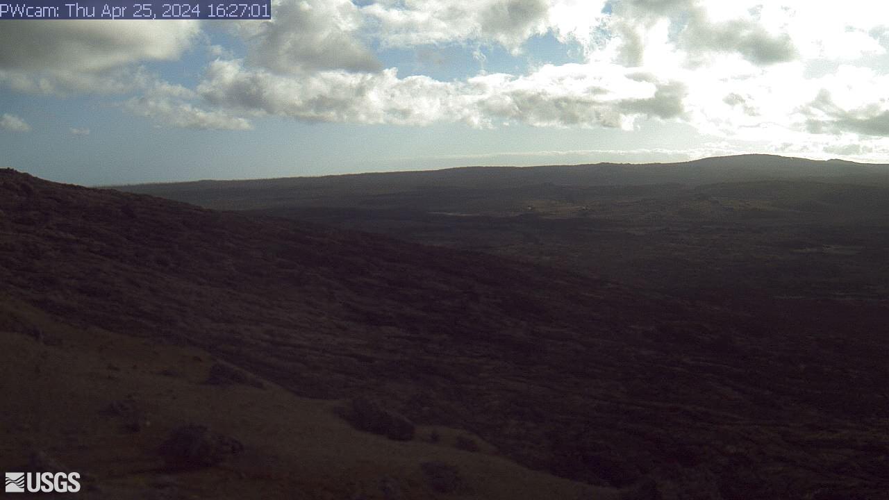
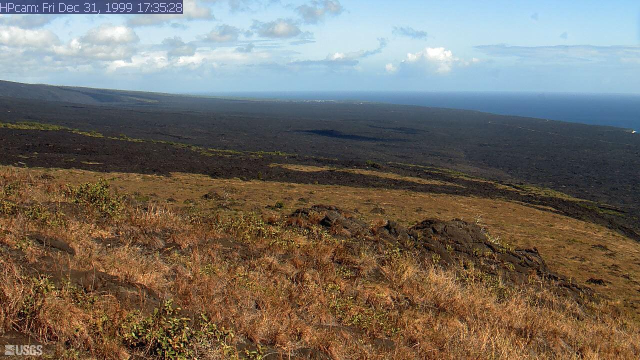


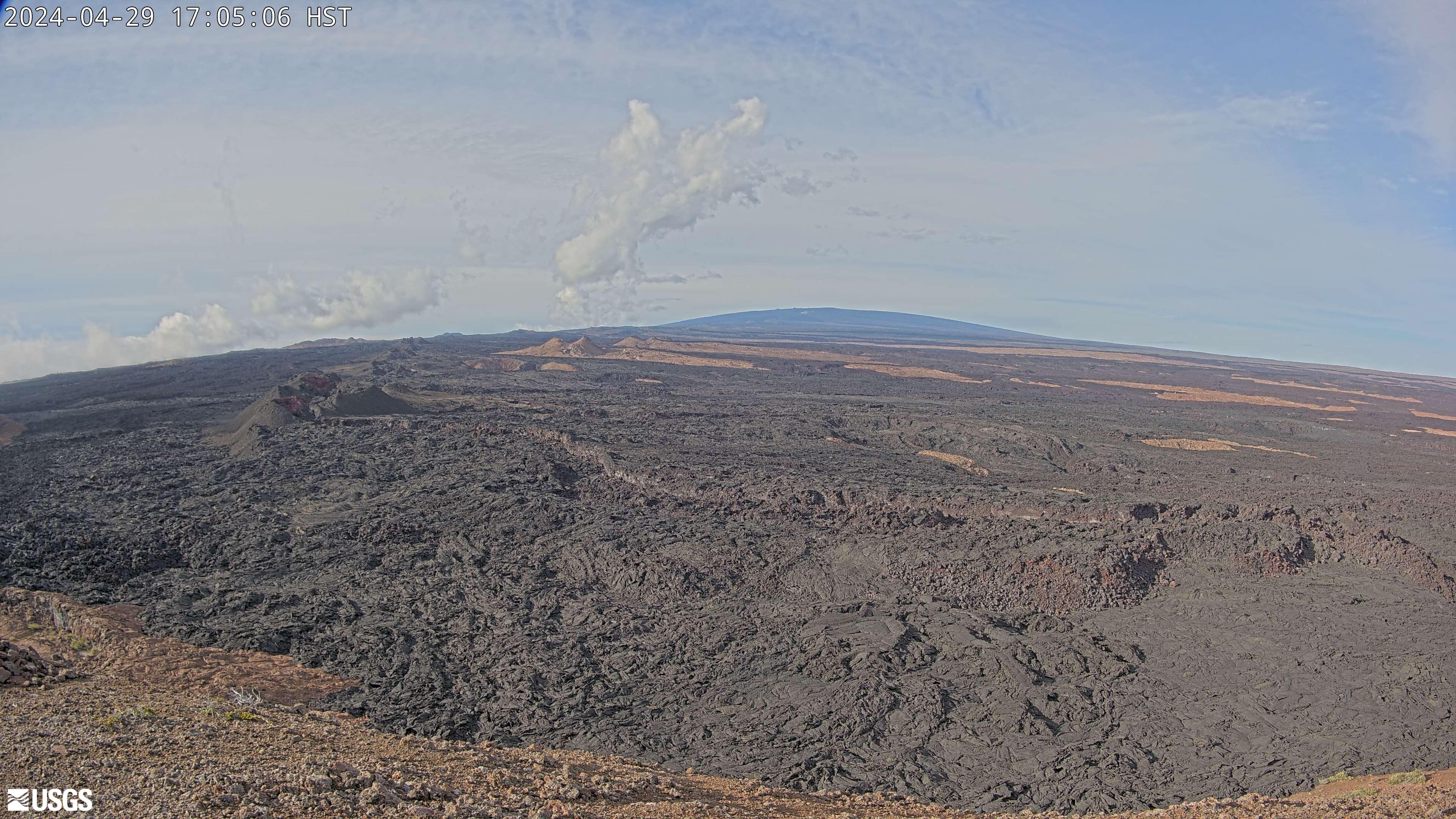
Mauna Loa |


Mauna Loa click play to watch live

Latest earthquakes mauna loa
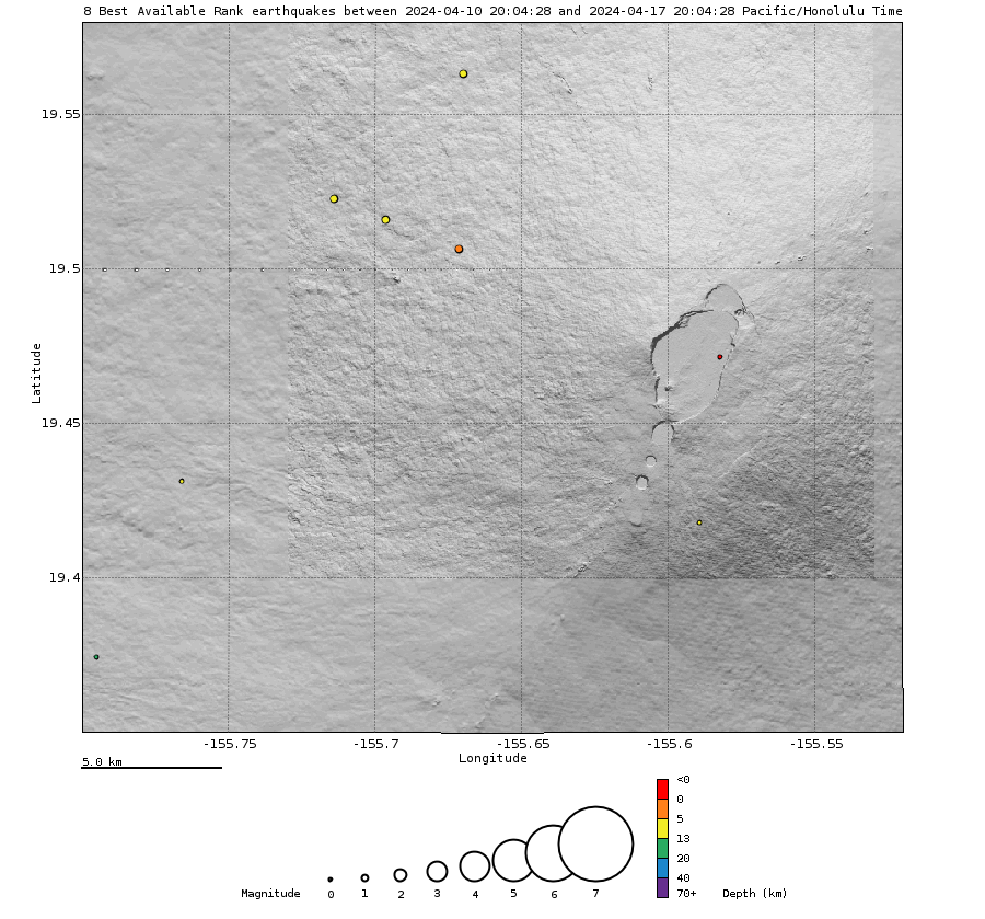
Locations

Map above showing locations of Earthquakesduring the past week. Bellow: Depth of earthquakes (circles) during the past week. Circle-size represents magnitude, and color indicates depth.
Depth

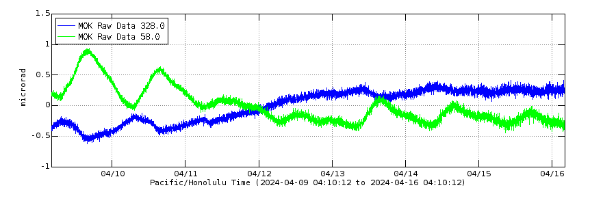
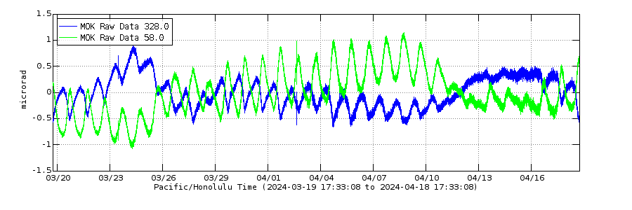
Electronic Tilt week
Electronic Tilt month
Mauna Loa
Mauna Loa
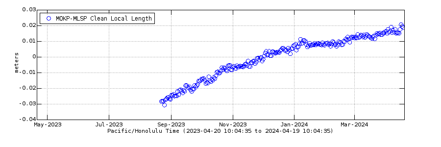
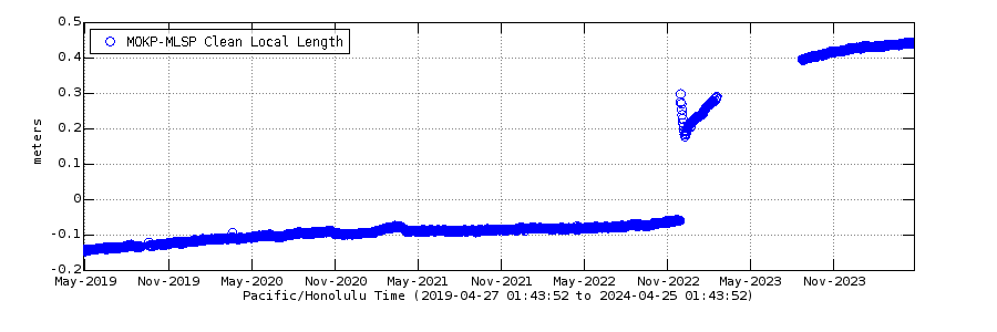
Mauna Loa GPS last 12 months Cross-caldera Distance Change
Mauna Loa GPS 5 year Cross-caldera Distance Change
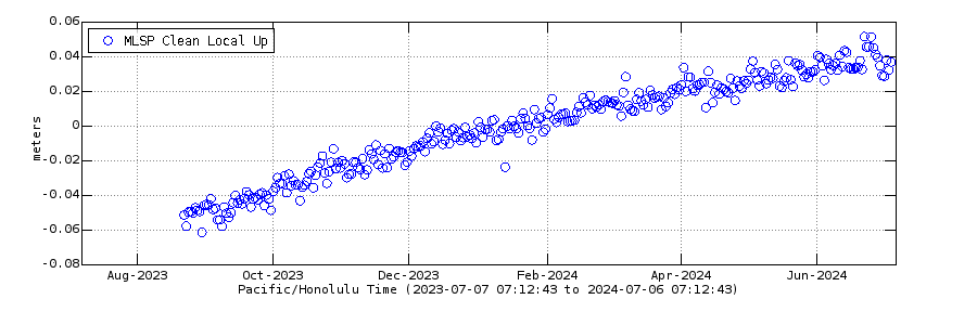
Mauna Loa 1 year GPS Vertical
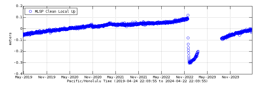
Mauna Loa 5 year gps vertical
Mauna Loa
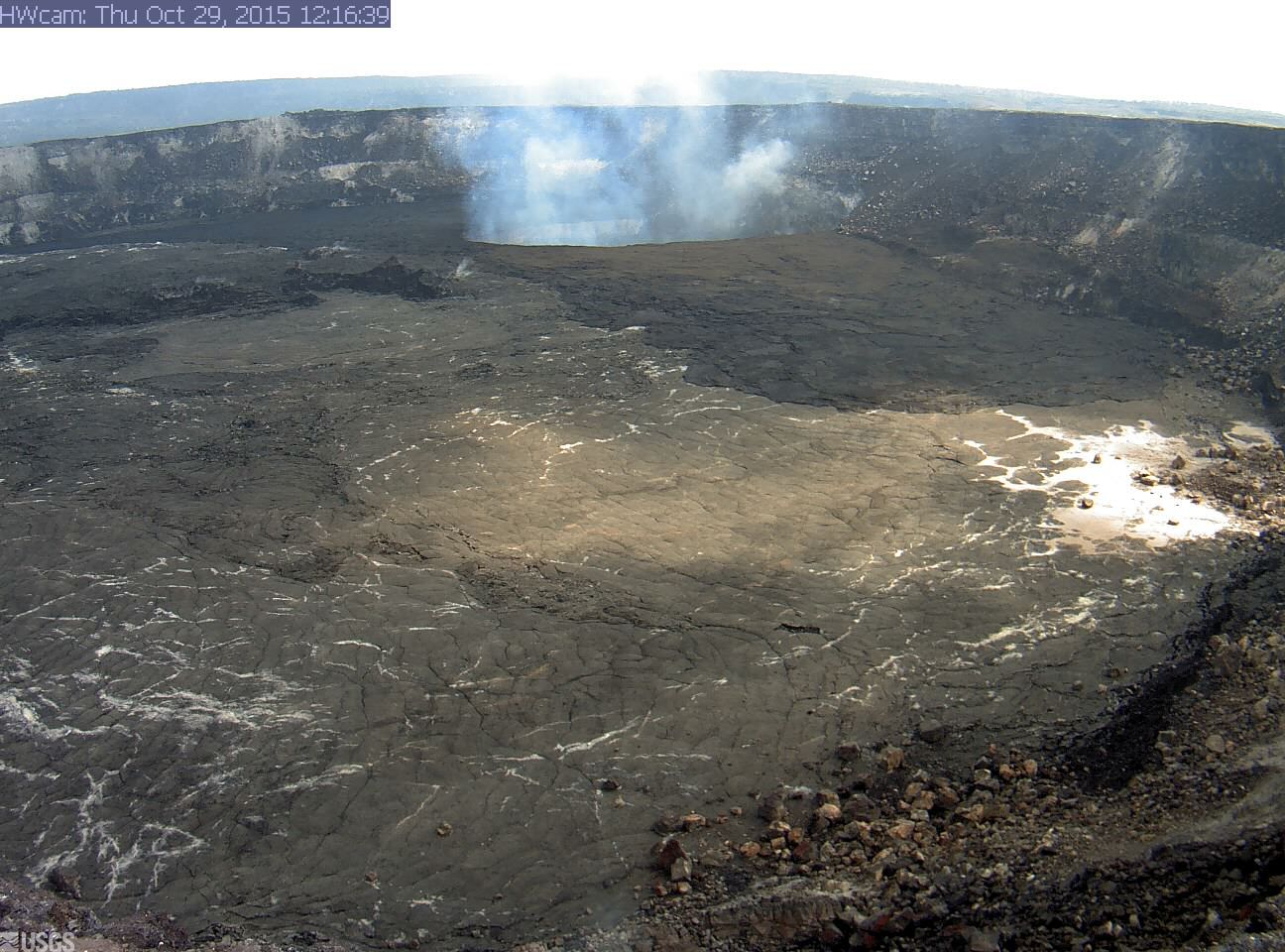
A look at the Kileuua caldera and the sheer size of this volcan - its 1740 ft down to that pond
|
Please support us by clicking the + button Did you know that floods are one of the most deadly and damaging natural disasters to affect mankind! Floodwarn is dedicated to reducing injuries, deaths, and property damage caused by floods. Reliable flood forecasting and early detection of flooding conditions are critical to effective local flood warnings. Using automated real-time monitoring systems we hope to make users aware of potential flooding in time to take action to minimise the effects. The technologies and methods described at this site illustrate some of the capabilities which have evolved, resulting in many successful flood warnings and partnerships.
This Site is to be used for information only. The data on this site is provided for purpose of information only and is not intended for any other reason, including but not limited to flood forecasting, flood prevention or predicting actual weather severity. It is up to you the user to decide if you need to take action and what action if any to take. Floodwarn shall not be liable for any errors, inaccuracies,misrepresentations, delay in the content, or for any action taken or not taken in reliance thereon. The FloodWarn site contains information that may or may not be accurate. Please use the UK GOVERNMENT sites for reliable information. Floodwarn accept your use of this site under these terms only.
|
||